
AI Precision Farming Drones: Spraying Pesticides Only Where Needed
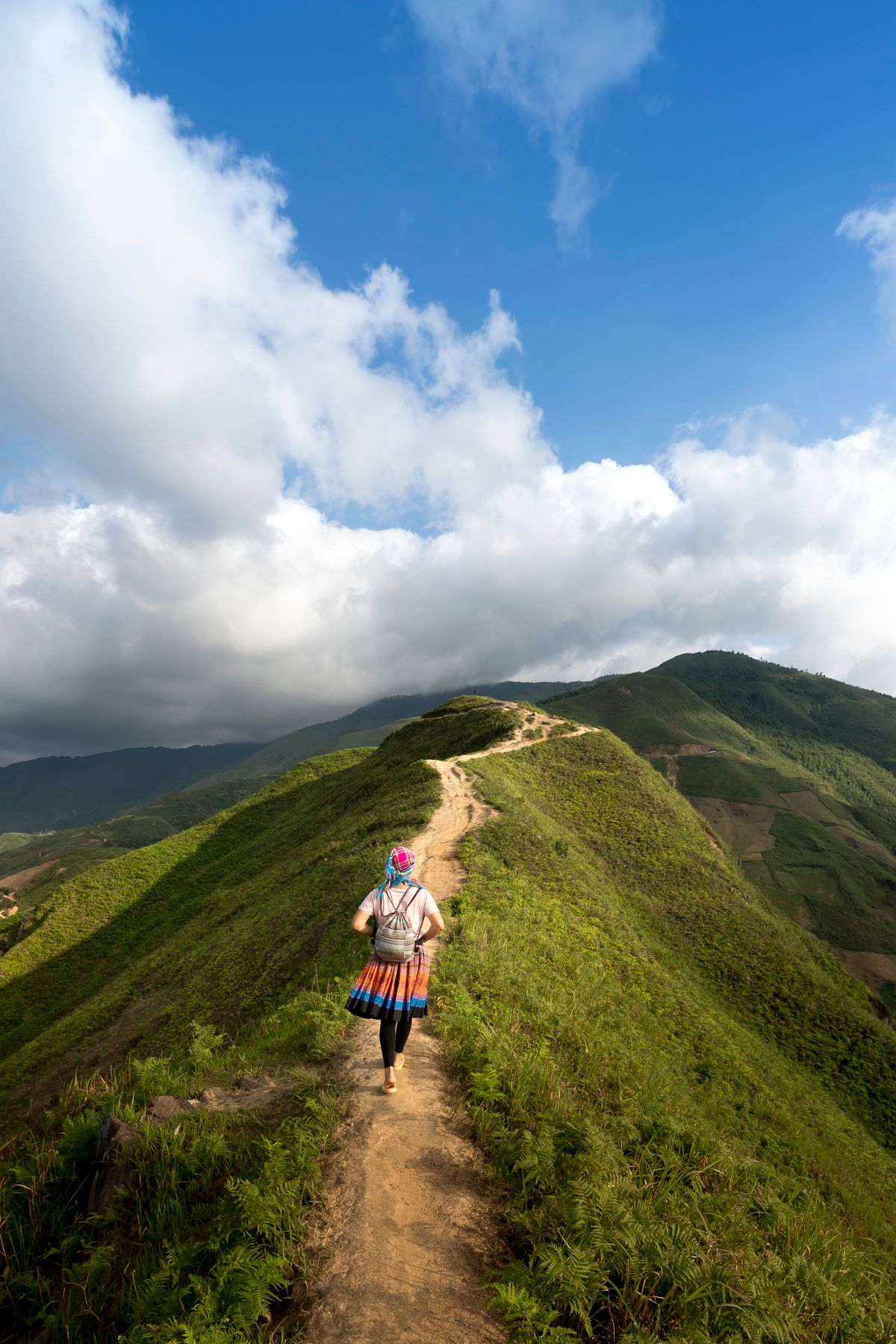
A farmer in Maharashtra's cotton belt runs a 10-acre farm. Every spray cycle, he mixes and loads a tank sprayer, walks the entire 10 acres for 3-4 hours, and blanket-sprays pesticide across every plant, healthy and diseased alike. He uses approximately 60 litres of spray formulation per acre, spending Rs. 800-1,200 per acre on each application. Over a season with 6-8 spray cycles, pesticide cost alone reaches Rs. 48,000-96,000 for 10 acres.
What if only 30% of the field actually had active pest pressure requiring treatment? The other 70%, where plants are healthy, received pesticide unnecessarily. That is Rs. 33,000-67,000 in wasted chemical, plus the environmental cost of excess pesticide runoff into soil and water, plus the health cost of farm worker exposure during repeated unnecessary spraying.
AI precision farming drones solve this by separating field mapping from chemical application. A drone surveys the entire field in 20 minutes, generating a centimetre-resolution crop health map that shows exactly which zones have pest activity, which have nutrient deficiency, and which are healthy. A spray drone then targets only the affected zones, skipping healthy crop entirely. Less chemical, lower cost, better environmental outcome, and often better pest control because higher targeted concentrations where needed are more effective than diluted blanket coverage.
What Are AI Precision Farming Drones?
AI precision farming drones use multispectral cameras and AI image analysis to map crop health across a field, identifying zones of pest pressure, disease, nutrient deficiency, or water stress. Variable rate spray systems then apply inputs only to zones that need treatment, reducing pesticide, fertilizer, and water use by 30-50% while achieving equivalent or better outcomes.
Modern agricultural drones serve two related but distinct functions that are often combined in a single workflow. Survey drones (equipped with multispectral or hyperspectral cameras) map the field, generating AI-analyzed health data. Spray drones (equipped with nozzle arrays and liquid tanks) execute targeted treatment based on the map. Some advanced systems combine both functions in a single aircraft; others separate them for operational flexibility.
The key AI layer is the crop health analysis that converts raw drone imagery into an actionable treatment map. Without AI, a pilot would need to manually interpret thousands of drone images. With AI, this interpretation happens automatically, producing a prescription map in minutes that specifies exactly which GPS coordinates require treatment at which rate.
How AI Reads Crop Health from the Sky
Multispectral Imaging and NDVI
Standard drone cameras capture visible light (red, green, blue bands). Multispectral cameras add near-infrared (NIR) and sometimes red-edge and thermal bands. The additional spectral information dramatically increases the amount of plant health data detectable from above.
NDVI (Normalized Difference Vegetation Index) is the most widely used crop health indicator derived from drone imagery. It is calculated from the ratio of near-infrared reflection to red reflection from the plant canopy. Healthy plants with abundant chlorophyll reflect strongly in NIR and absorb heavily in red. Stressed plants (due to pests, disease, drought, or nutrient deficiency) show reduced NIR reflection and increased red reflection.
NDVI ranges from -1 to +1. In agricultural fields:
0.6 to 0.9: Dense, healthy vegetation. No treatment needed.
0.4 to 0.6: Moderate vegetation. Monitor closely. Possible early stress.
0.2 to 0.4: Sparse or stressed vegetation. Investigate and consider treatment.
Below 0.2: Severely stressed or bare soil. Urgent investigation needed.
A precision farming AI system generates a color-coded NDVI map of the entire field, with red zones indicating where treatment is needed, yellow zones requiring monitoring, and green zones that can be skipped entirely during the next spray cycle.
AI Disease and Pest Identification from Above
NDVI tells you where plants are stressed but not necessarily why. Advanced AI systems add a second layer of classification: determining the likely cause of observed stress. Disease outbreaks create different spatial patterns than pest infestations, which create different patterns than drought stress or nutrient deficiency. Disease often spreads in clusters with irregular edges, following moisture and wind pathways. Pest infestations may follow field edge patterns (where insects enter from surrounding vegetation) or show random distribution (flying insects) versus linear patterns (soil-borne pests moving along rows).
AI models trained on annotated drone imagery of known disease and pest outbreaks learn to distinguish these spatial patterns, allowing the system to not only map where treatment is needed but recommend what type of treatment (fungicide versus insecticide versus foliar fertilizer).
India's Drone Agriculture Ecosystem
| Company | Drone Type | Key Feature | Coverage |
|---|---|---|---|
| IdeaForge | Survey and mapping drones | Made-in-India, DGCA certified, used by state govts | Deployed in 15+ states |
| Garuda Aerospace | Spray and survey drones | Kisan Drone focused, FPO partnerships | 3,000+ drones deployed |
| TechEagle | Survey and precision spray | AI crop health analysis integrated | Andhra Pradesh, Telangana, Maharashtra |
| General Aeronautics | Agricultural spray drones | Heavy lift, 16L tank, AI spray control | Punjab, Haryana, UP |
| Aarav Unmanned Systems | Survey drones | NDVI mapping with agronomist reports | Pan-India service |
| DJI Agras (via Indian distributors) | Survey + spray | Most widely used globally; T40/T20P in India | Available nationwide |
The Kisan Drone Policy: Government Push
India's Ministry of Agriculture launched the Kisan Drone scheme in 2022, providing substantial subsidies to democratize drone access:
- Farmer Producer Organizations (FPOs): 75% subsidy on drone purchase (up to Rs. 4 lakh)
- SC/ST, women farmers, small and marginal farmers: 50% subsidy
- Other farmers: 40% subsidy
- State agriculture graduates and KVK graduates training as drone pilots: additional skills support
The subsidy scheme recognizes that at Rs. 8-15 lakh per agricultural drone, individual farmer purchase is not economically rational for most smallholders. The intended model is FPO-level ownership where a drone serves 50-200 member farmers, reducing per-farmer cost to Rs. 300-800 per acre per season for the survey and spray service, a fraction of the pesticide savings generated.
Additionally, DGCA's Drone Rules 2021 streamlined agricultural drone operation by creating a simplified approval process for agricultural spray drones below 25 kg. Pre-designated Green Zones in agricultural areas allow operations without individual flight permissions, enabling routine field operations without the permit burden that initially slowed adoption.
Real Cost and Benefit Analysis: Does It Pay?
The economic case for AI precision drone spraying varies significantly by crop and farm size. Here is a realistic analysis for a 5-acre cotton farm in Maharashtra:
Traditional blanket spraying:
- 8 spray cycles per season, 60 litres per acre per cycle: 2,400 litres total
- Average pesticide cost: Rs. 800 per acre per cycle x 8 cycles = Rs. 6,400 per acre
- Labour cost for manual spraying: Rs. 300 per acre per cycle x 8 = Rs. 2,400 per acre
- Total 5 acres: Rs. 44,000 per season
AI precision drone spraying (FPO-owned drone at Rs. 500/acre/spray):
- Pre-spray NDVI survey identifies 35% of field requires treatment per cycle on average
- Spray drone treats 35% of area: pesticide use reduced by 65% per cycle
- Effective pesticide cost: Rs. 800 x 35% = Rs. 280 per acre per treated cycle
- Drone service cost: Rs. 500 per acre per cycle (survey + spray)
- Total per acre per cycle: Rs. 780 vs Rs. 1,100 traditional
- Total 5 acres, 8 cycles: Rs. 31,200 vs Rs. 44,000 traditional
- Net saving: Rs. 12,800 per season (29% reduction)
For high-value crops with heavier pest management costs (grapes, pomegranates), the saving can exceed Rs. 25,000-40,000 per acre per season, making drone service economically compelling even at individual farm level.
Yavatmal and the Pesticide Poisoning Context
Yavatmal district in Maharashtra became tragically famous in 2017 when over 50 cotton farmers died from acute pesticide poisoning during manual spraying, and hundreds more were hospitalized. Manual backpack spraying requires farmers to walk through dense, freshly sprayed crop canopies, inhaling drift and absorbing pesticide through skin for hours at a time.
AI drone spraying eliminates this exposure pathway entirely. The operator stands at the field edge controlling the drone from a safe distance. No worker enters a freshly sprayed field. For a country where pesticide poisoning causes an estimated 10,000-20,000 deaths annually, many among farm workers, the worker safety benefit of drone spraying is as significant as the economic benefit. Maharashtra state government has specifically promoted drone adoption in Vidarbha as a direct response to the Yavatmal tragedy.
Limitations and Practical Considerations
- Wind restriction: Agricultural spray drones cannot operate in winds above 5-6 m/s because drift makes precision application impossible. This restricts operations to early morning and late evening windows in many regions during summer, limiting daily coverage to 4-6 hours.
- Battery endurance: Most agricultural spray drones have 15-20 minute flight times per battery charge. Recharging or battery swapping time limits effective daily coverage to 20-30 acres per drone for combined survey-spray operations.
- Dense canopy penetration: Drone spraying delivers chemical to the top of the canopy effectively but may under-treat the lower leaf surfaces where some pests (such as spider mites and whitefly) are most active. Crop architecture affects drone spray efficacy.
- Skilled operator requirement: Effective precision farming with drones requires a trained operator who understands both drone operation and agronomy. The drone generates the map, but agronomic interpretation of what the map means and what treatment to prescribe still requires human expertise.
AgriTech, FPO, or Agri-Input Business Growing Online?
At Mayank Digital Labs, we build performance websites, SEO, and AI automation for agritech companies and rural businesses. Whether you sell drones, inputs, or services to farmers, we help you reach them digitally.
No commitment. Just a 30-minute call to see how we can help.
Frequently Asked Questions
How do AI farming drones work?
AI farming drones fly over fields capturing multispectral images. AI analyzes these using NDVI and other vegetation indices to identify zones of pest pressure, disease, or nutrient stress. The resulting field health map shows where treatment is needed. Variable rate spray drones then target only affected zones, skipping healthy crop and reducing chemical use by 30-40%.
How much can AI drones reduce pesticide use?
AI precision drone spraying reduces pesticide use by 30-40% compared to blanket spraying. For high-value crops like cotton, grapes, and pomegranates, farmers report pesticide cost savings of Rs. 2,000-4,000 per acre per season while maintaining equivalent or better pest control. The Yavatmal cotton belt has seen both cost and worker safety improvements.
Are agricultural drones legal in India?
Yes. DGCA regulates agricultural drones under Drone Rules 2021. Operators need a Remote Pilot Certificate. The government's Kisan Drone scheme provides 40-75% subsidy on drone purchases for FPOs, SC/ST farmers, and women farmers. Pre-designated Green Zones in agricultural areas allow routine operations without individual flight permissions.
What is NDVI and how do drones use it?
NDVI (Normalized Difference Vegetation Index) measures plant health from the ratio of near-infrared to red light reflected by plants. Healthy plants reflect strongly in NIR and absorb red light. Stressed plants show the opposite. Drone multispectral cameras measure both wavelengths, and AI generates color-coded maps showing healthy, moderately stressed, and critically stressed zones across the field.
What crops benefit most from AI drone spraying in India?
Cotton, grapes, apple, mango, pomegranate, and high-value vegetables deliver the best economic return from AI drone spraying due to high per-acre pesticide costs. For lower-value crops like rice and wheat, the benefit-cost ratio is closer to breakeven unless drone service is provided at subsidized rates through FPOs or government schemes.